While we were staying at Gran Bahía Príncipe in Quintana Roo, we decided to rent a car and drive all the way out to one of the Seven Wonders of the World.
*Chichén Itzá, ruined ancient Maya city occupying an area of 4 square miles (10 square km) in south-central Yucatán state, Mexico. It is thought to have been a religious, military, political, and commercial centre that at its peak would have been home to 35,000 people. The site first saw settlers in 550, probably drawn there because of the easy access to water in the region via caves and sinkholes in limestone formations, known as cenotes.
*Chichén Itzá was founded by the Maya about the 6th century AD in an arid region where water was obtained from natural wells called cenotes. The city was invaded in the 10th century—probably by a Mayan-speaking group under strong Toltec influence—and the invaders constructed another series of buildings, including the famous stepped pyramid known as El Castillo and a ball court. The site, though largely abandoned by the time the Spanish arrived in the 16th century, remained sacred to the Maya people.
*Chichén Itzá is located some 90 miles (150 km) east-northeast of Uxmal and 75 miles (120 km) east-southeast of the modern city of Mérida. The only source of water in the arid region around the site is from the cenotes. Two big cenotes on the site made it a suitable place for the city and gave it its name, from chi (“mouths”), chen (“wells”), and Itzá, the name of the Maya tribe that settled there. Chichén Itzá was designated a UNESCO World Heritage site in 1988.
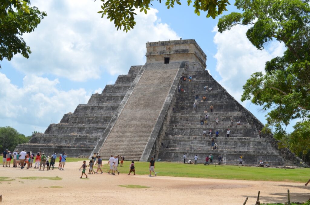
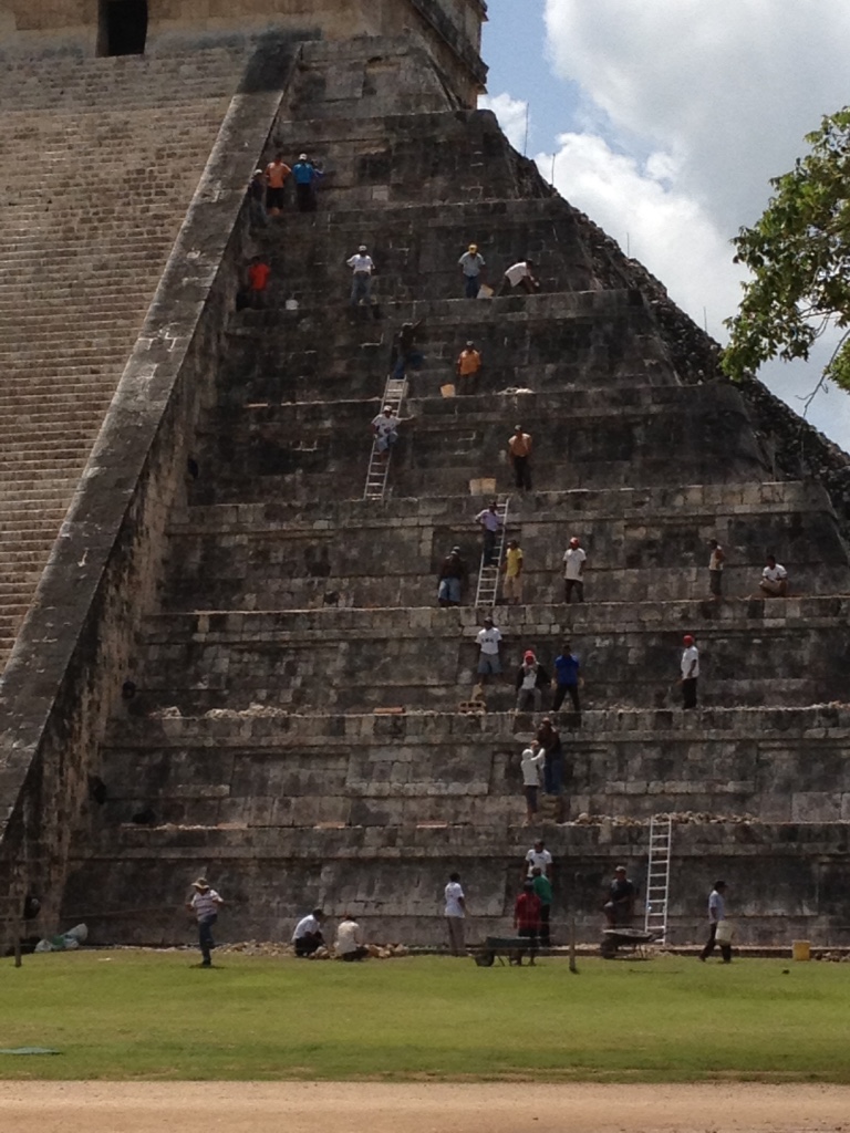
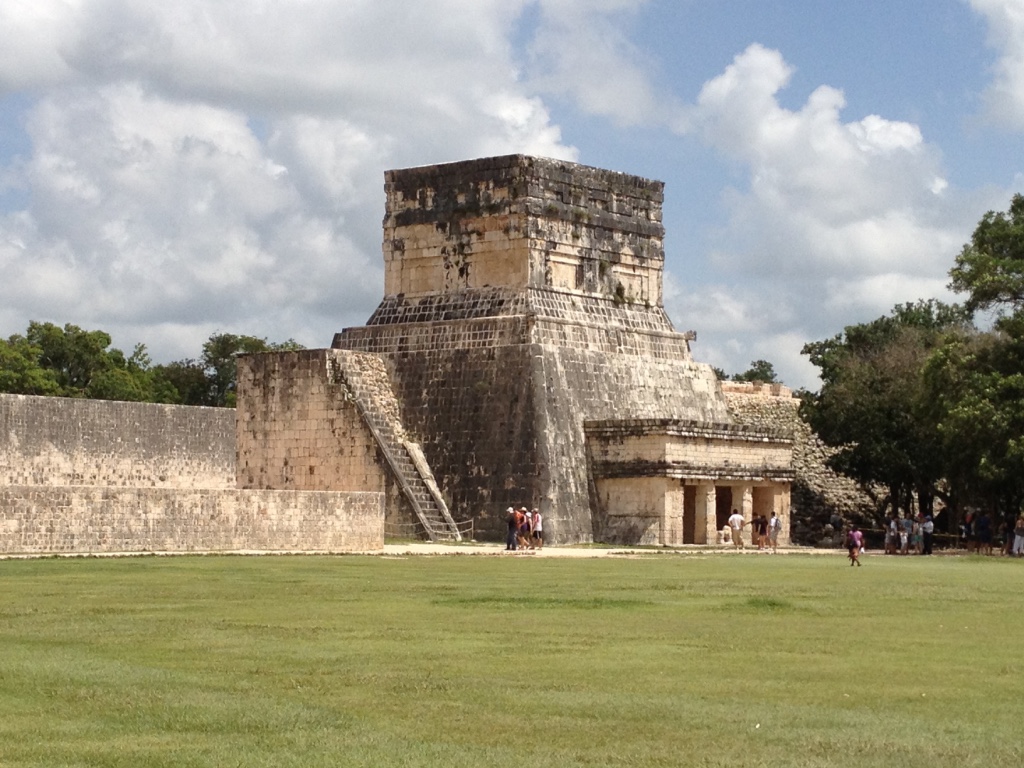
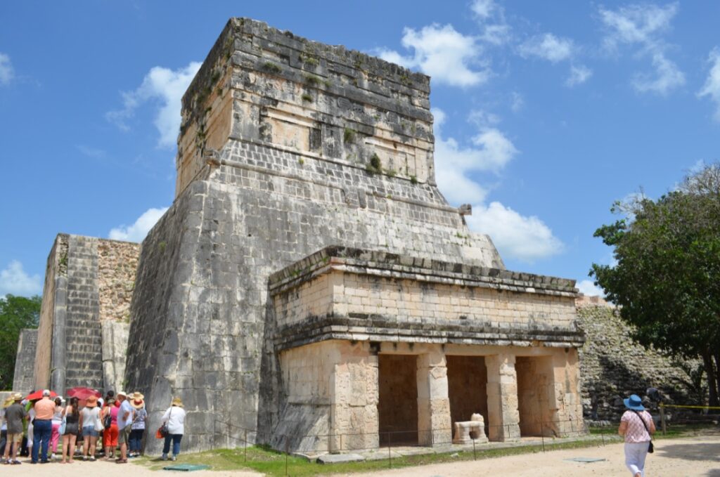
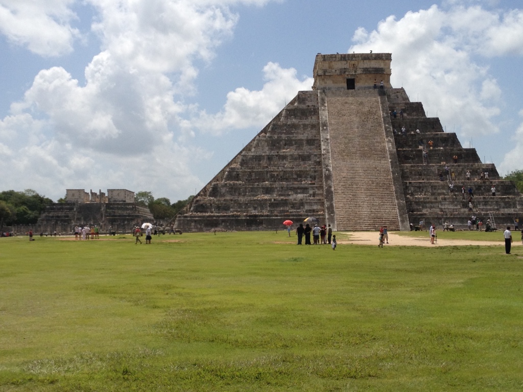
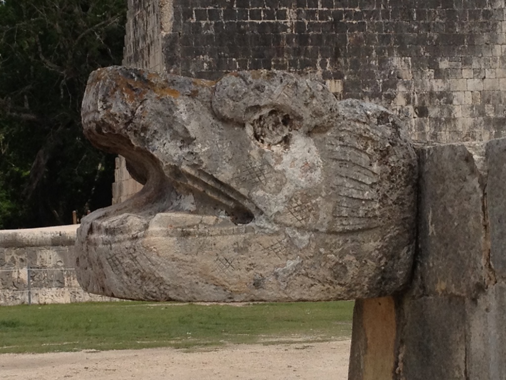
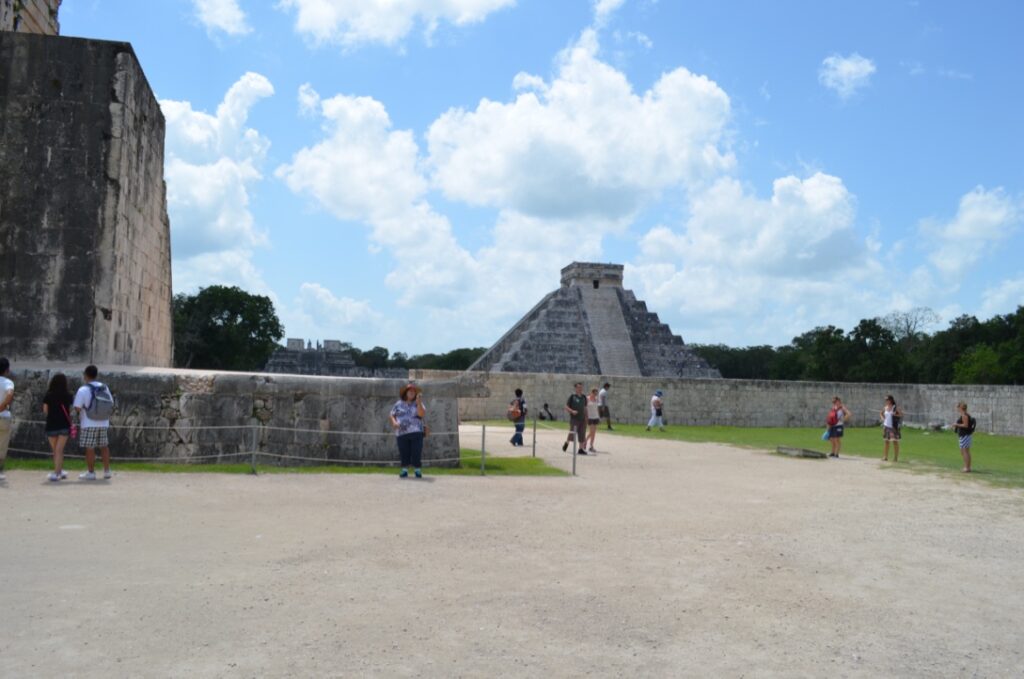
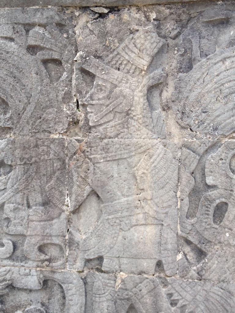
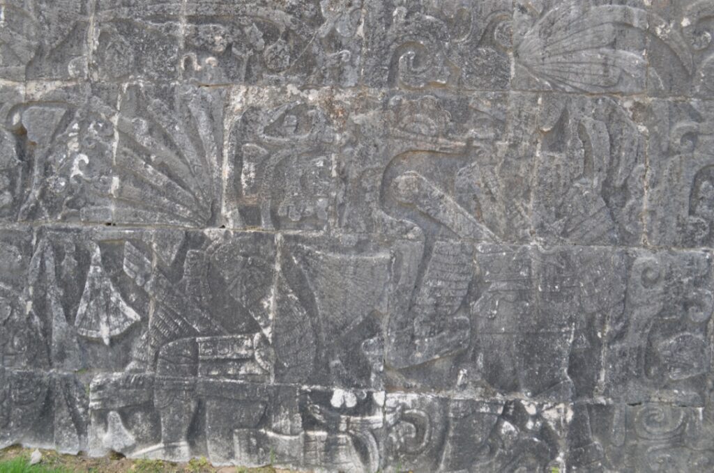
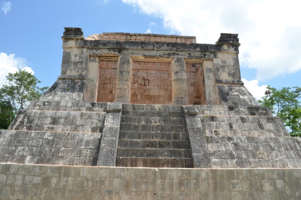
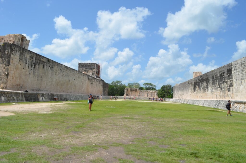
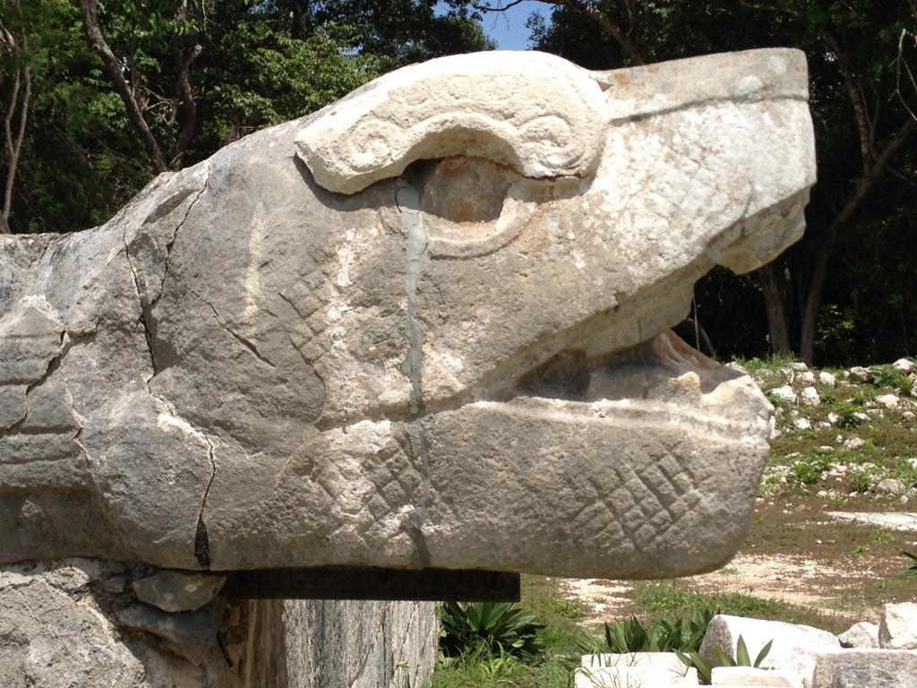
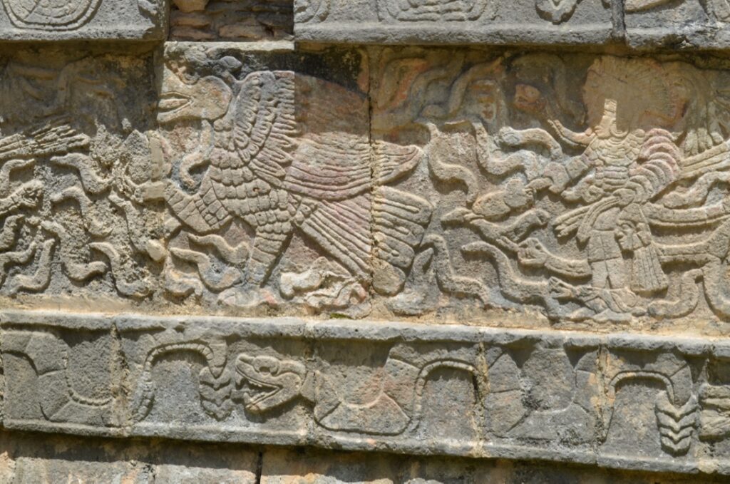
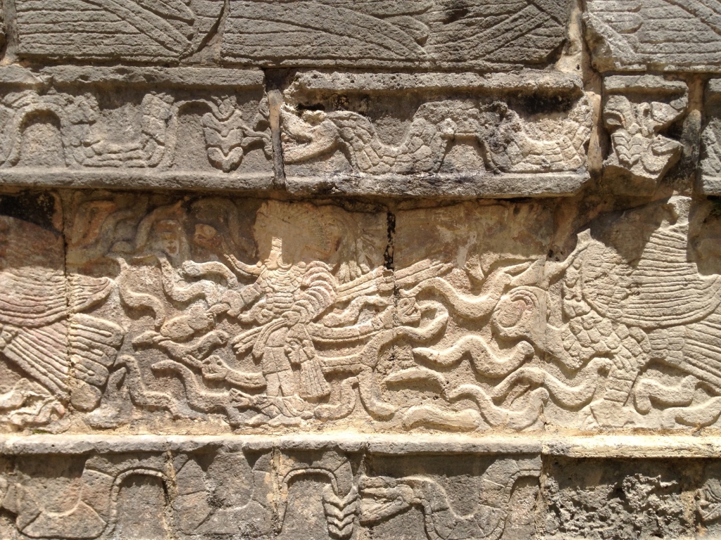
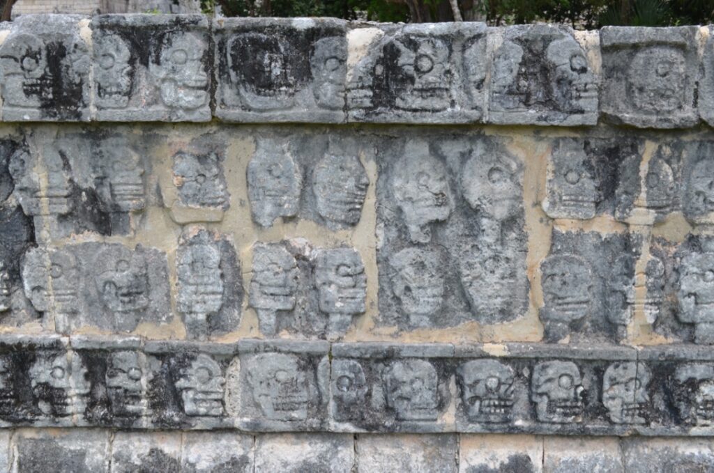
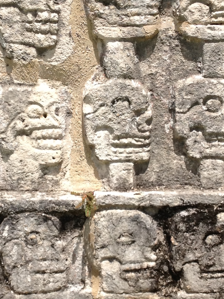
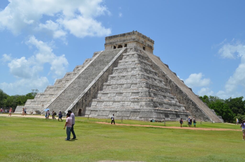
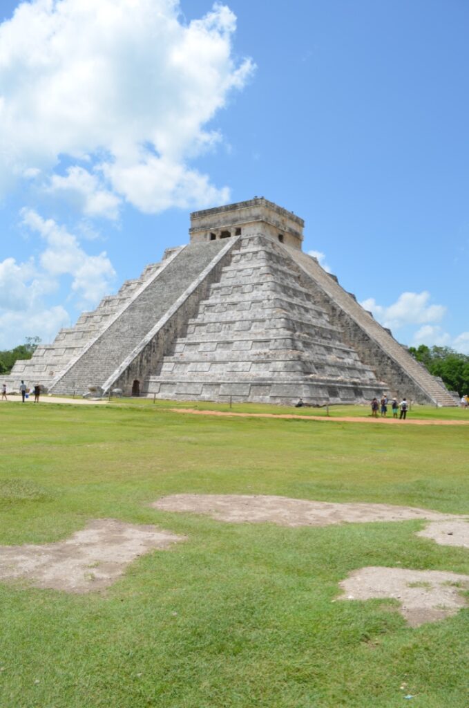
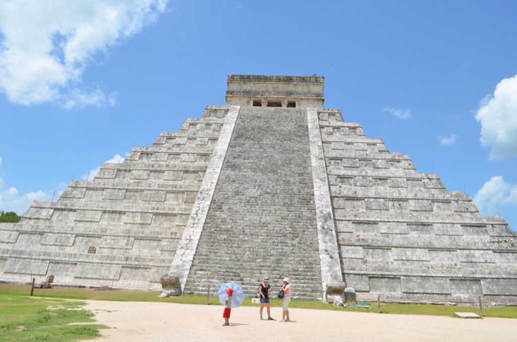
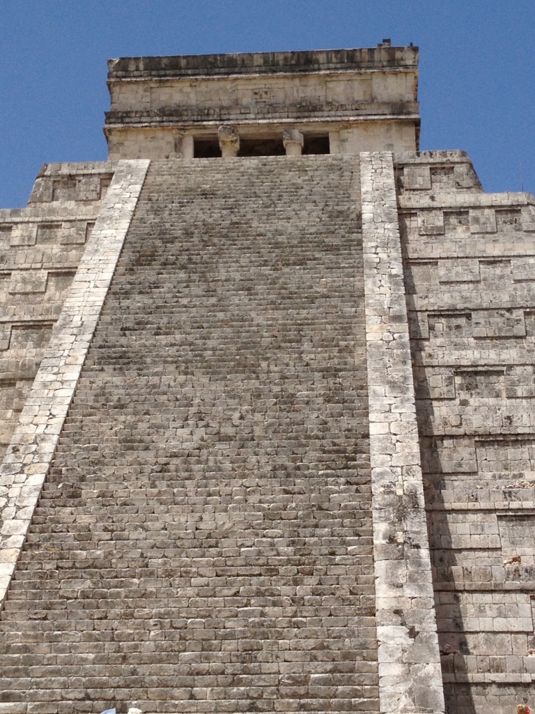
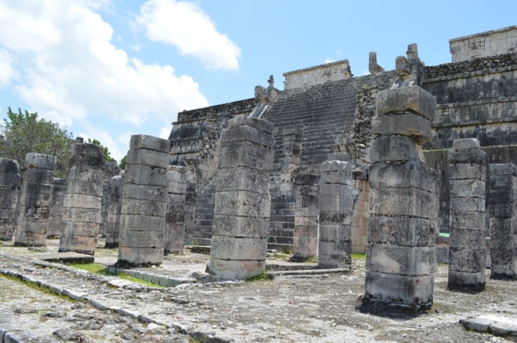
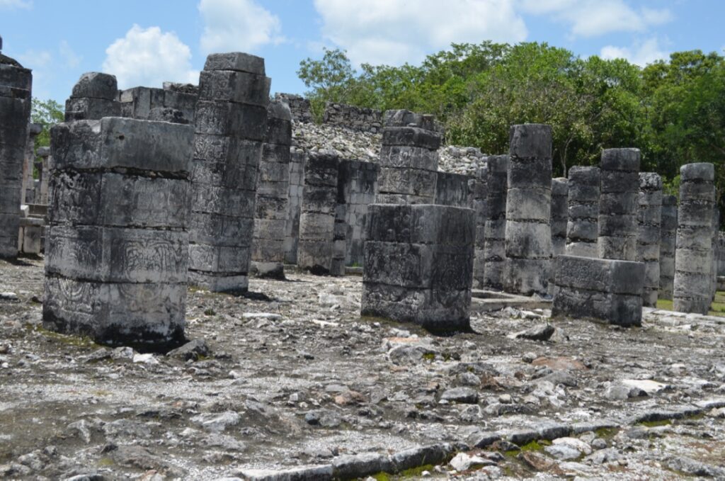
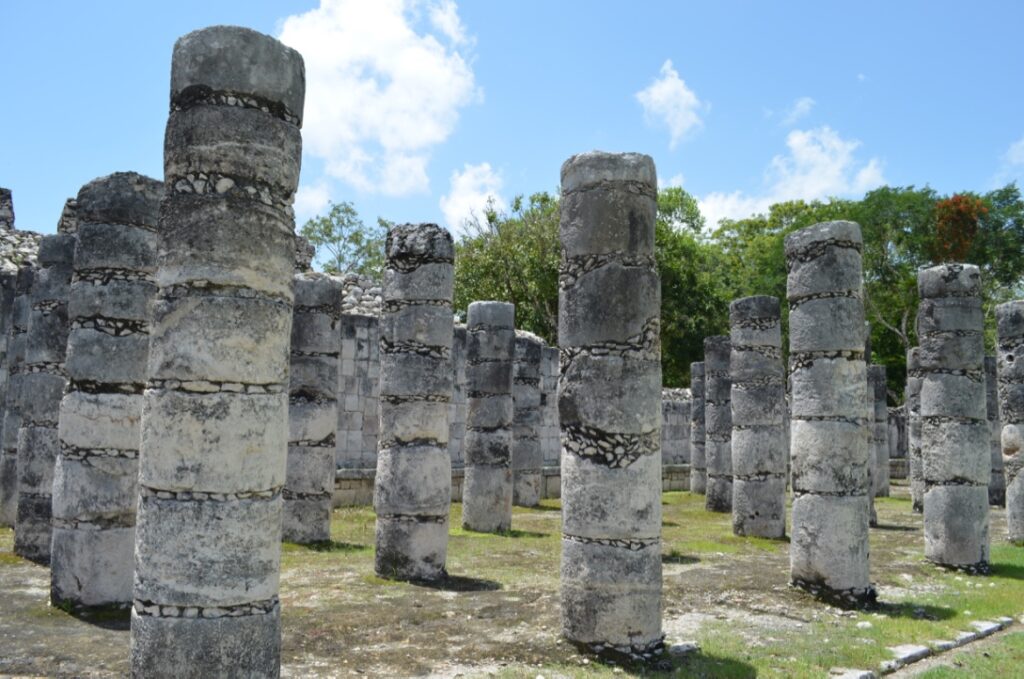
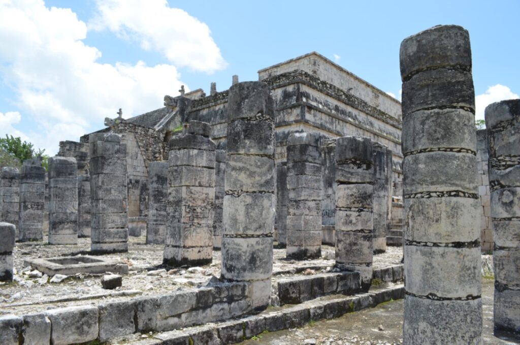
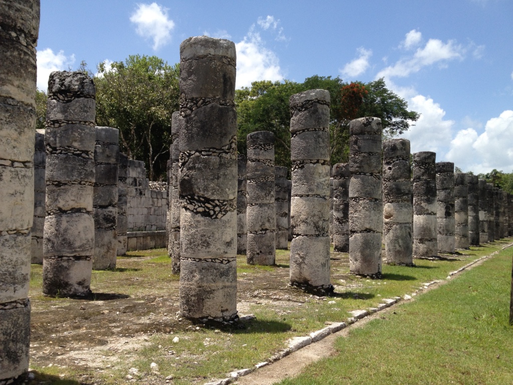
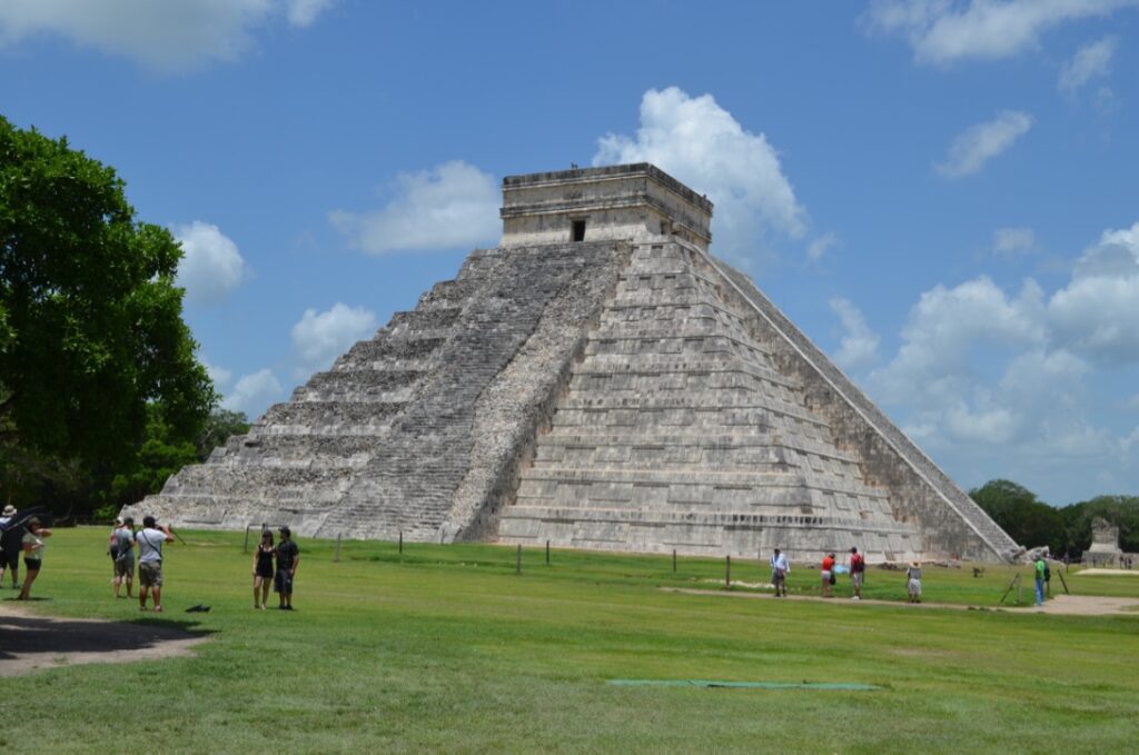
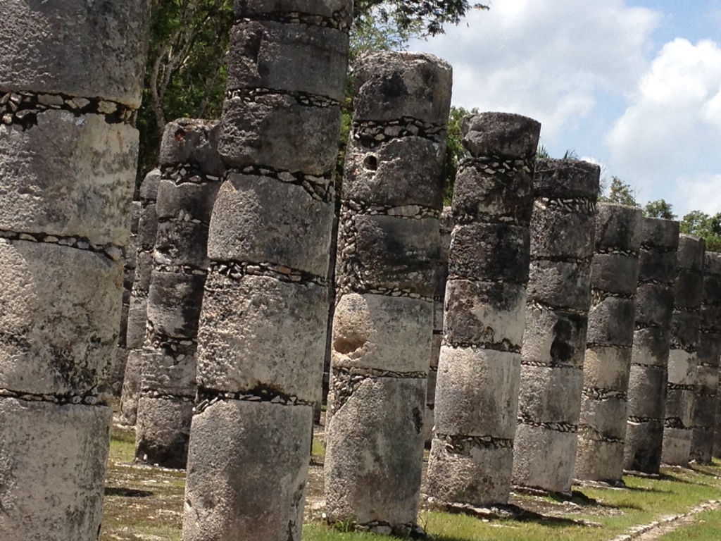
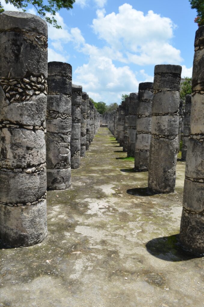
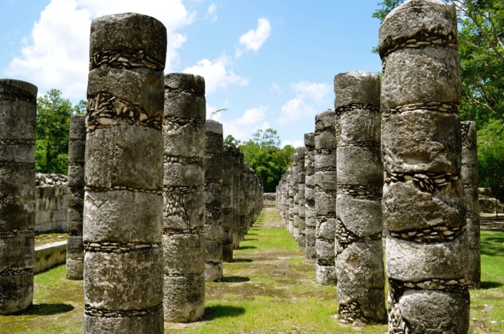
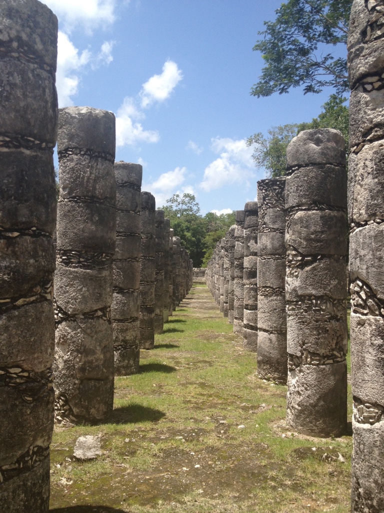
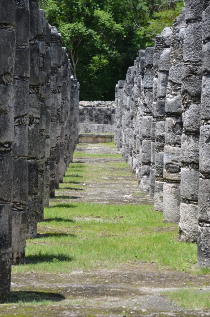
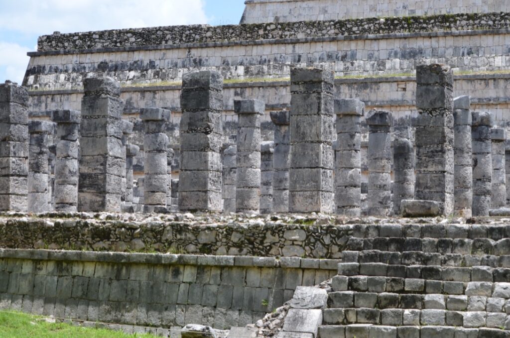
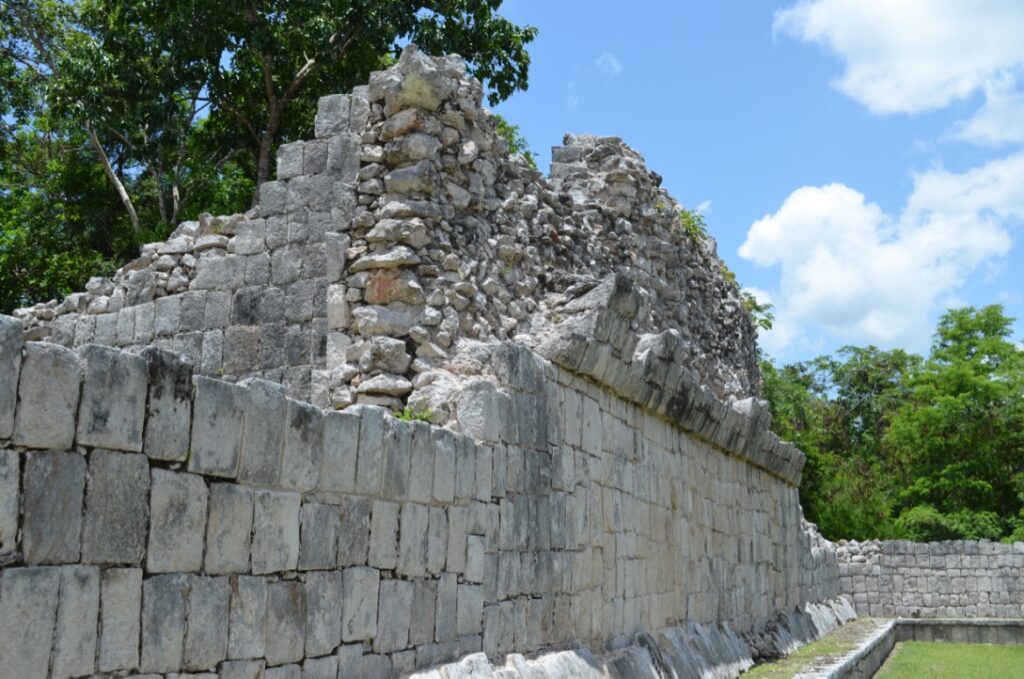
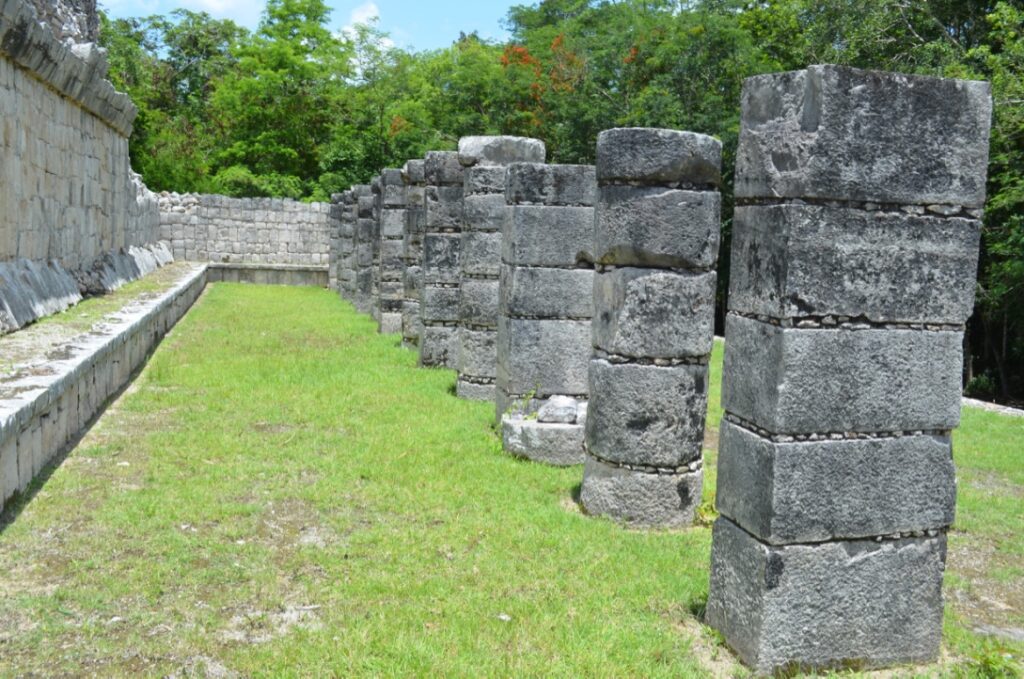
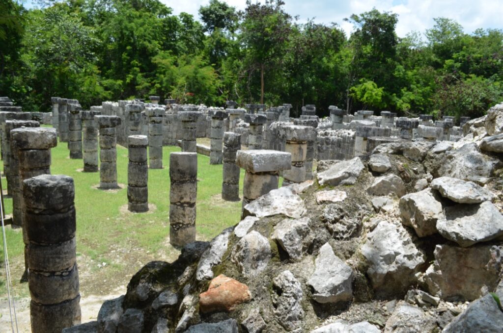
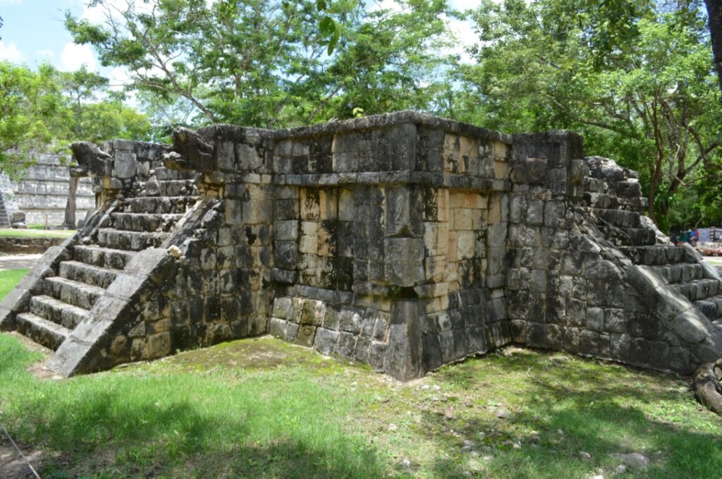
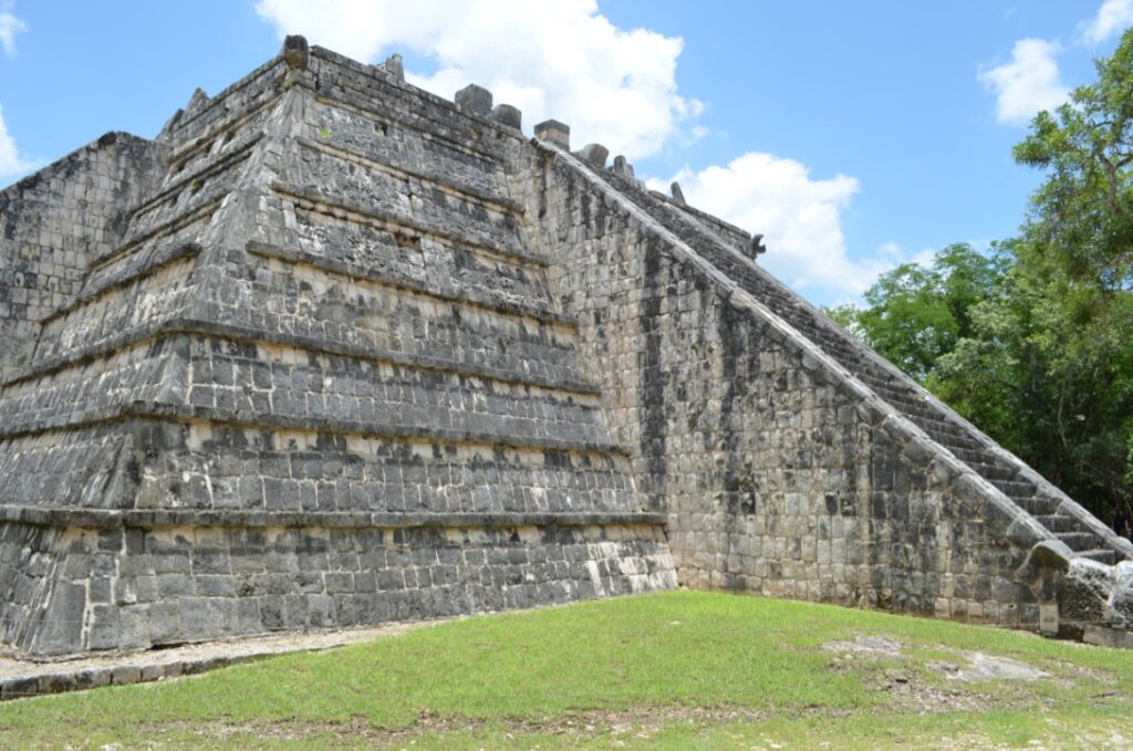
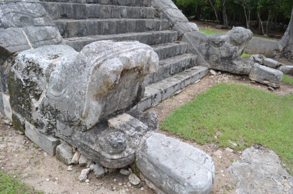
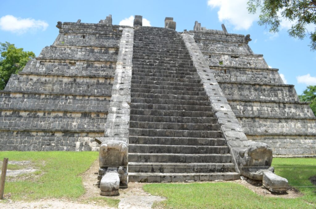
Most of the pictures I took were done with my NIKON D5100 either with a 18-55mm lens or with a 55-300mm lens. There are a number of photographs taken with my iPhone S4.
*Information extracted from britannica.com

Leave a Reply